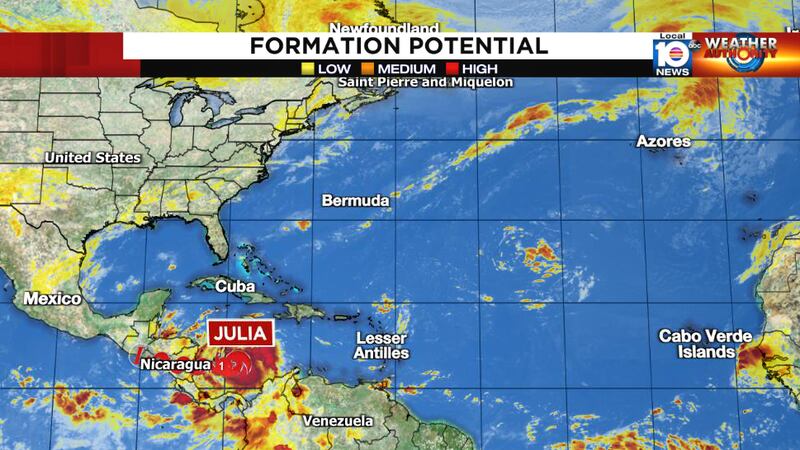
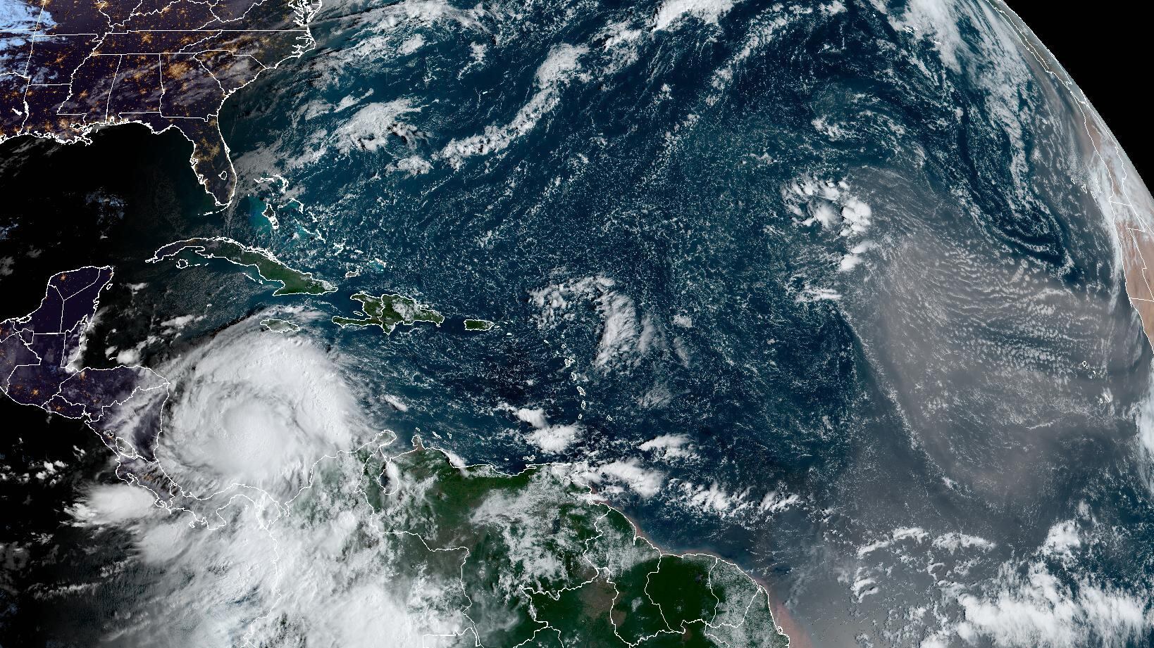
Morning satellite and hurricane hunters are finding a strengthening Julia headed quickly westward and now less than 24 hours from expected landfall in Nicaragua.
Julia, which was christened late yesterday morning, has been battling a combination of land entanglements with South America and persistent upper-level winds from the north which have limited its strength and organization over the past several days.”
The morning satellite, however, suggests those earlier impediments are falling, with a nascent central dense overcast – or concentrated area of intense thunderstorms – focusing on the south side of the center along a formative eyewall.

Earlier microwave satellite showed a developing core that still has some work left to do around the north side of the storm circulation.
Nevertheless, assuming the lingering shear abates, there’s no reason to believe Julia won’t have ample opportunity to quickly strengthen in the coming hours. The forecast from the National Hurricane Center explicitly calls for rapid intensification into a strong Category 1 or Category 2 hurricane before landfall early on Sunday.

The biggest threat from Julia will be the torrential rainfall and associated flash flooding and mudslides that it will bring across parts of Central America into early next week. The forecast calls for a foot or more of rain ahead from Nicaragua and Honduras in the east to El Salvador and Guatemala in the west. High pressure steering firmly in place to the north will keep Julia moving westward into early next week.
As for the rest of the tropical Atlantic, skies are mostly clear, and it looks like we’ll head into next week without any significant disturbances behind Julia.

Copyright 2022 by WPLG Local10.com - All rights reserved.

