
If you’re a regular reader of this newsletter, you know that since Monday, we’ve been previewing the possibility of low-pressure development this weekend around the Yucatán Peninsula and the western Caribbean.
The National Hurricane Center is now advertising slow development in the area in the coming days, and a tropical depression or storm could form as it moves northward into the eastern Gulf of Mexico early next week.
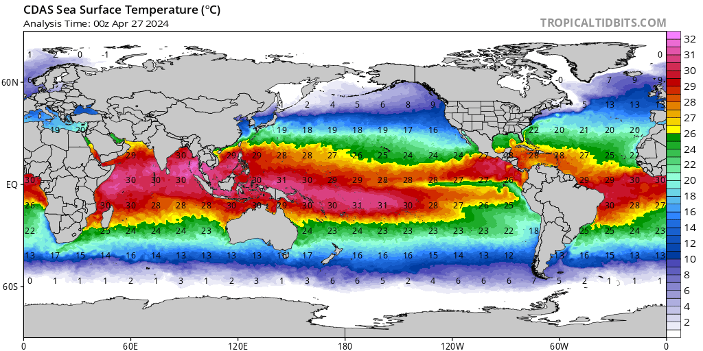
While forecast guidance is still murky on the critical details – including how organized it may get and where it may head – the time of year and locale, riddled with some of the warmest waters on the planet, means coastal residents from Florida to the northern Gulf Coast should check in a little more frequently this weekend to the changing forecasts.
What to watch for this week
The area of interest will originate from an elongated strip of low pressure pivoting northward out of the eastern Pacific and across Central America starting today into Friday.
This is the first point of disagreement among forecast models. The American GFS model keeps the axis of low pressure farther south over Central America – and therefore weaker – while the European model lifts the area into the very warm waters of the western Caribbean, leading to sustained organization over the weekend.
What the models say for next week
Beyond the weekend, we look at the upper-level pattern over the Gulf of Mexico for development potential.
While the American GFS model suite is currently forecasting a hostile corridor of upper-level winds laid deep across the southern Gulf, the European model suite suggests a buckling of upper-level winds around the low-pressure early next week, which would instead increase storminess and support organization.
The vastly different upper-level configuration of winds from two of our most reliable forecast models illustrates why the European model has a strengthening storm system next week and the American GFS is absent any organized or coherent low-pressure system.
What we can expect for South Florida
Regardless of development, models do agree on a surge of tropical air into Florida Monday into Wednesday next week ahead of a cold front plunging into the southeastern states. This will make for a stormy start to next week across South Florida whether or not an organized tropical system forms.
We’ll continue to update you online and on-air through the weekend as we receive new forecast information.
Franklin restrengthening north of Hispaniola, Bermuda on alert
Tropical Storm Franklin – after flooding parts of the Dominican Republic and Haiti yesterday with torrential rainfall – is reorganizing as it pulls away from the rugged terrain of Hispaniola.
The storm is expected to steadily strengthen over the southwestern Atlantic this weekend and become the second hurricane of the 2023 hurricane season.
Though the official forecast keeps the center of Franklin a safe distance west of Bermuda early next week, the archipelago remains within the forecast cone and to the east of the center, where the worst weather will occur. Those with interests in Bermuda should keep an eye to the forecasts this weekend.
Elsewhere in the Atlantic
The remnants of Emily are expected to regenerate over the far north Atlantic by tomorrow but pose no threat to land. Invest 92L in the east-central Atlantic has a medium chance of development into next week, but should stay weak and out to sea.
